


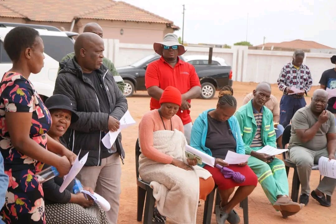
Kwaggafontein – The Nkangala District and Thembisile Hani municipalities held a pre-community resolution meeting on Tuesday, 07 October, to discuss the formalisation and land registration process for Mabhoko Village.
This is believed to be a move that brings residents closer to official land ownership.The meeting brought together government officials, traditional leaders and residents to engage about steps needed to secure land ownership and bring much-needed services to the community.
Sibonelo Kubheka from the Nkangala District Municipality’s Planning and Economic Development Department said the formalisation process aims to give residents legal recognition and ownership of the land they occupy.

“Formalisation means the land people are living on will be recognised, it will receive a stand number and we’ll know the rightful owner of each property,” Kubheka said. “The process started with surveyors putting Mabhoko on the map. Once that is done, the Department of Agriculture, Rural Development, Land and Environmental Affairs will approve it and we will return with a full map and all the supporting documents.”
Kubheka added that once formalisation is completed, Mabhoko will officially appear on maps, with road names and proper route indicators. “We are working to ensure that Mabhoko becomes registered and recognised on national maps,” he said. “It must have a title that specifies which traditional council the land belongs to.”
Hendrick Kabini, a representative from Thembisile Hani Local Municipality and a resident in Mabhoko, said the formalisation process is crucial for bringing basic services and infrastructure to Mabhoko.
“Right now, Mabhoko is not on the municipal master plan or even on GPS,” Kabini said. “That’s why we struggle to get services like bus routes or proper development. Once the process is complete, other departments will be able to deliver services faster.”
Princess Lukele, a representative from GAP Development Planners, which is facilitating the process, said the purpose of the meeting was to allow the community to provide input before a final resolution is made.
This is in line with the Interim Protection of Informal Land Rights Act of 1996, which stipulates that before any development takes place, there must be two meetings, a pre-consultation like today’s and a final consultation where the community makes the final decision.
“Today’s meeting is a pre-resolution consultation,” Lukele said. “Our goal is to present and propose the process and allow the community to give feedback before the final resolution. Mabhoko is situated on state land and our job is to help release this land so that it can be registered and recognised.”
She further explained that Mabhoko’s formalisation will cover Portions 1, 7, 8 and 19 of the Gemsboksfontein Farm and Portion 1 of Herbertsfontein 224JR, which together make up 84 hectares of land.
However, some residents raised concerns about the timing of the meeting. Community member Jacob Mashiane said many people could not attend because it was held during the week. “These meetings must be held on weekends so that everyone can attend,” Mashiane said. “Most people are at work and today’s attendance is not pleasing.”


